If you look at Mauritius on a world map, it's just a tiny dot in the Indian Ocean. In geography class at Le Bocage, we talk about scale, grid lines, and coordinates. But maps are flat, abstract drawings. They don't capture the physical reality of actually crossing the land from the northern tip all the way to the southern toe.
That got me thinking: how do we actually "know" the size of our home? Is it through numbers on a screen, or is it through the physical effort of traversing it?
This video shows our journey across the island. When you experience a place through your own senses—the temperature changing as you climb higher, the shifting textures of the roads and dirt tracks, the sound of the wind, the physical fatigue—your brain constructs a completely different kind of knowledge than what a map provides.
Map vs. Territory
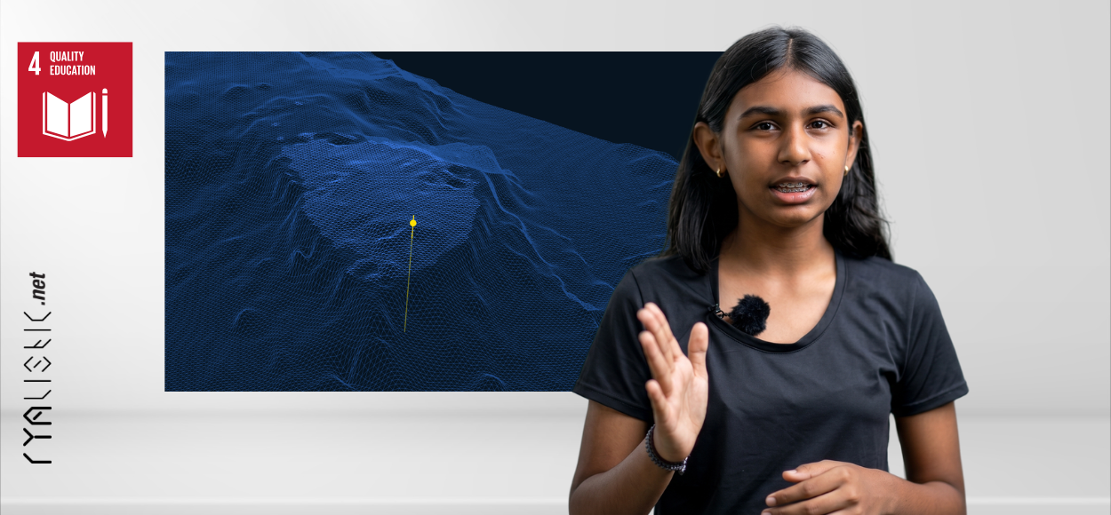
There is a famous saying: "The map is not the territory." A map is a simplified model of reality. If a map were as detailed as the real world, it would have to be the exact same size as the world, which would make it completely useless! So, we rely on simplification (models) to navigate.
But what do we lose when we simplify? When we look at a map, we see lines and borders. When we walk the island from "Tip to Toe," we experience the continuous, uninterrupted connection of different communities, forests, and coasts. Our direct perception tells us one thing, while our maps tell us another. Both are valid ways of understanding, but they serve completely different purposes.
Next time you look at a map of Mauritius, remember that there is an entire world of detail, elevation, and life that the lines can never show.
Rya